The final section of the Texas Coast Bikerafting Route (TCBR) traverses the Bolivar Peninsula and the remaining coast line to Sea Rim State Park.
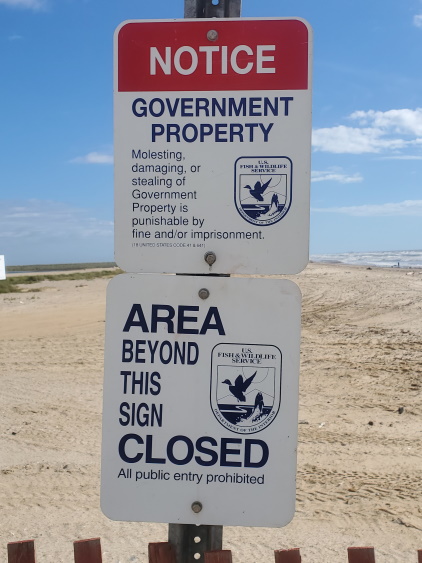
NOTE: As of August 2022, a significant portion of this section is inaccessible for beach restoration work. This area spans 17 miles of beach between High Island and Sea Rim State Park, making it not possible to reach the park by riding on the beach. This beach closure is expected to continue through December 2023. Re-routing around this on the highways is a much longer ride (+40 miles) on mostly busy roads.
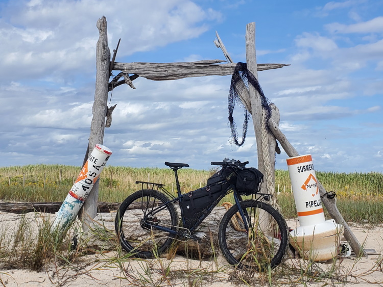
This section of the TCBR begins with a ferry crossing from Galveston Island to the Bolivar Peninsula. The free public ferry is located on the northwest end of the island at the terminus of Ferry Rd. Cyclists must dismount and board with pedestrian passengers. The ferry runs 24/7 and the ride across takes about 18 minutes. After arriving on the other side, one can continue on the highway (TX-87) for 3.5 miles to the first beach access road (Rettilon Rd). Alternatively, one can make an immediate left onto Frenchtown Rd and loop around into the community of Port Bolivar and come out at Rettilon Rd. It only adds an extra mile and avoids the sometimes busy highway.


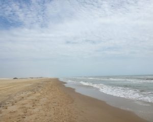
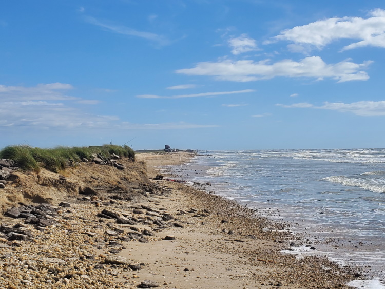
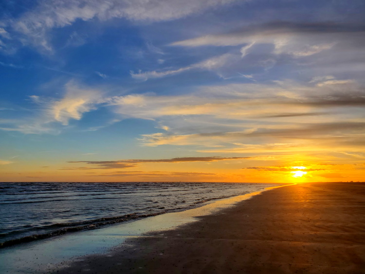
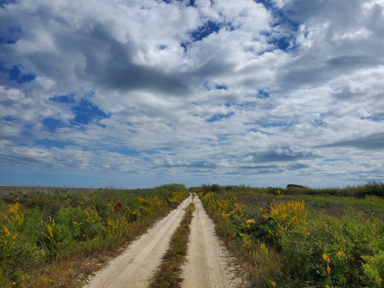
Once on the beach, one can ride for about 22 miles to near High Island. There are plenty of access roads along the way leading back to the highway which is never far from the beach. The Crystal Beach area is the most populous and commercialized area on the peninsula, but this small unincorporated community is tiny compared to Galveston. If you need food or supplies, there is The Big Store supermarket and a few restaurants in this area. A beach pavilion with bathrooms and outdoor showers was recently opened on South Crystal Beach Rd in front of the fire station.
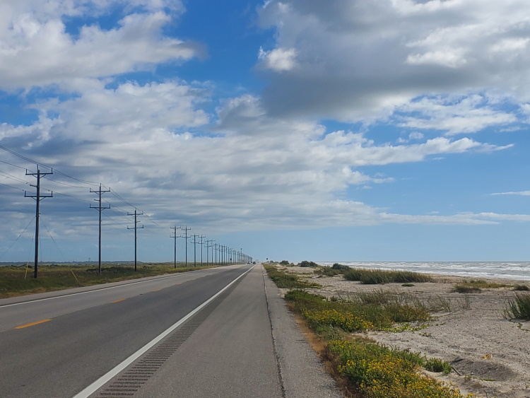
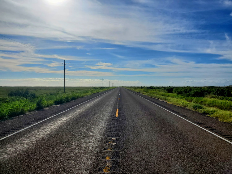
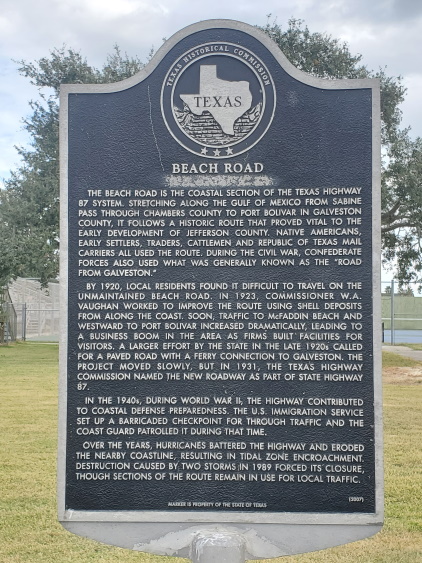
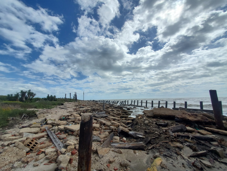
As you near High Island, one must briefly exit the beach due to rip-rap barriers. After about a mile on the highway, one can re-enter the beach and carry on for the next 22 miles to Sea Rim State Park (SEE CURRENT CLOSURE NOTE ABOVE). Previously, TX-87 continued along the coast all the way to Sabine Pass, but in 1989, Hurricane Jerry destroyed sections of the road. Continued erosion and damage from subsequent storms has removed much of the dunes that protect the marshlands behind from encroachment of the Gulf and left sections of the beach without sand.

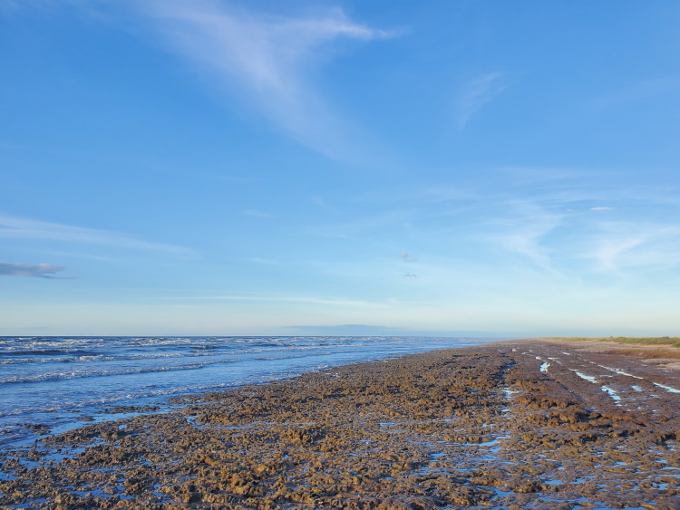
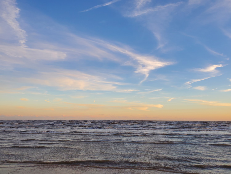
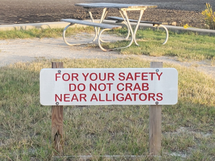
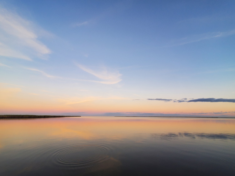
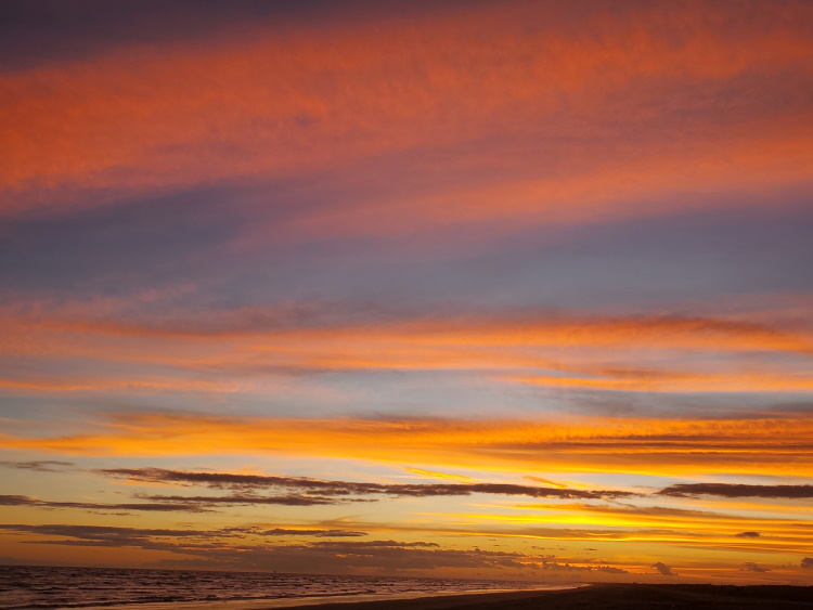
Sea Rim State Park has also experienced its share of hurricane damage. in 2005 from Hurricane Rita and subsequently by Hurricane Ike in 2008. The park reopened in 2010 on a limited basis and improvement continues, but amenities are still minimal. When I visited in October 2022, a water system failure meant there was no running water at the park the days I was there. Normally the park has potable water and outdoor cold showers available. The nearest convenience store is 10 miles away in Sabine Pass. What it lacks in amenities is made up for with quiet beaches and spectacular sunset views.
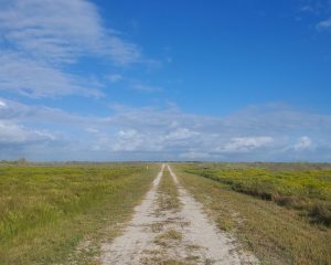
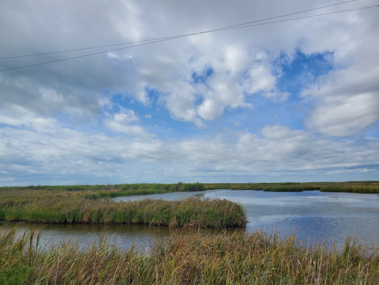
It is possible to continue onward from Sea Rim toward the mouth of the Sabine River on the beach. One will pass the desolation of Sea Rim Estates. I couldn’t find much information on this, but whatever was there looks like it was destroyed in a massive storm with only rubble left behind. Eventually, the dunes fade away and, depending on current conditions, at high tide the marsh and the sea may be one.
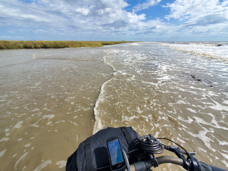
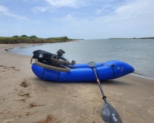
Note, there are no water crossings on this final section and no raft needed. This could also be used as an out and back bikepacking route from Galveston.
Towns and Resupply Areas
The first part of this section traverses through developed areas and towns where food and other supplies are easily sourced. There are no stores, restaurants, or roads on the 22 miles of beach from High Island to Sea Rim State Park. Sea Rim State Park is fairly isolated at the end of this route. It is a 10 mile ride to the nearest convenience store in Sabine Pass.
Water Sources
The first part of this section traverses through developed areas and towns where water is easily sourced. There is no water available for 22 miles on the beach from High Island to Sea Rim State Park.
Camping Areas and Lodging
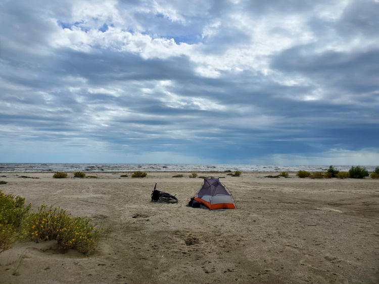
Camping is generally allowed on the beaches of this section. Sea Rim State Park charges a small fee for camping on the beach within its boundaries. If you are looking for an unusual camping experience, Sea Rim State Park has one floating camp site only reachable by a 2 mile paddle out into the marshes. Hotels are available at the start of this section in Galveston and also along the Bolivar Peninsula.
- Part 1: Intro
- Part 2: Terrain and Environment
- Part 3: Rio Grande to Mansfield Channel
- Part 4: Mansfield Channel to Port Aransas
- Part 5: Port Aransas to Matagorda Beach
- Part 6: Matagorda Beach to Bryan Beach
- Part 7: Bryan Beach to Galveston
- Part 8: Galveston to Sea Rim State Park (You are here)
Notice: Outdoor activities such as those described on this site are inherently dangerous. Effort has been put forth to present factual information but no guarantee is made that it is complete or represents current conditions. You assume all risk with any use of the information on this site.