The third section of the Texas Coast Bikerafting Route (TCBR) is an island hopping journey that traverses some of the most remote stretches of the Texas coast.
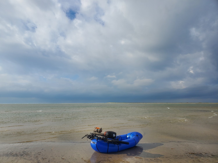
The last section of the TCBR left off in the beach town of Port Aransas. This next section is the most remote and inaccessible segment of the entire route. It should be stressed that one should ensure to have enough supplies and, especially, enough water for the long trip ahead. To continue north, one must cross from Mustang Island to San Jose Island (commonly called St. Jo). St. Jo is a privately owned island, but the public is allowed on the beach. A private ferry from Port Aransas’ Fisherman’s Warf is offered with their jetty boat for a fee. It will take you from the Fisherman’s Warf to a private dock on the St. Jo jetty and is the only official way to access the island. The jetty boat was out of commission for repairs for several days when I was there, so I made the crossing by raft. I don’t recommend it, but I traveled via the free ferry to Aransas Pass, then crossed the Aransas Channel by raft, hooked around north and then crossed the Lydia Ann Channel to reach St. Jo. Once on the jetty, you follow it to the Gulf side beach access.

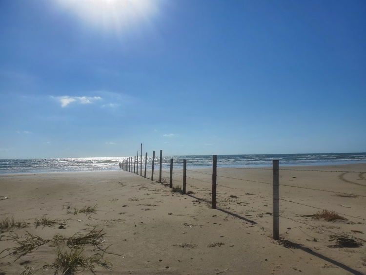
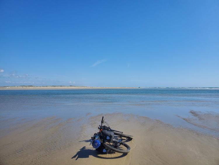
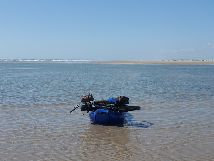
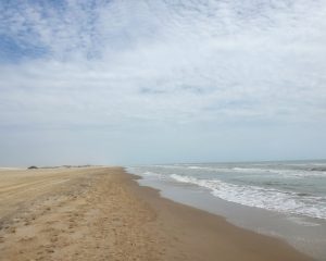
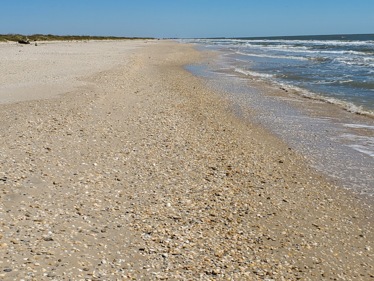
St. Jo is a private island with about 21 miles of beach. It is popular with tourists who come for the secluded beach as well as fishermen targeting speckled trout, sheepshead, and other fishes that can be caught from the jetty. You may see a few people on the south end of the island, but far fewer will make the trek to the north end. There’s not much in the way of unique landmarks on the first half of the island, but eventually one will reach a series of barbed wire fences crossing the beach and running out into the water. There are gates higher up on the beach, but be sure to close any you open as the island is home to a cattle ranch. Continuing onward one will come to the next water crossing at Cedar Bayou. The pass is popular with fishermen and I saw a few there. This was a quick and easy crossing by raft with most of it very shallow except for a narrow channel in the middle.
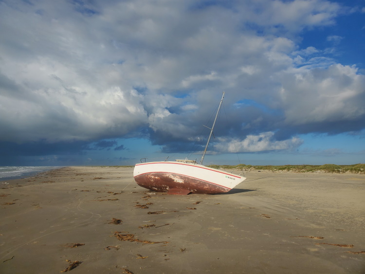
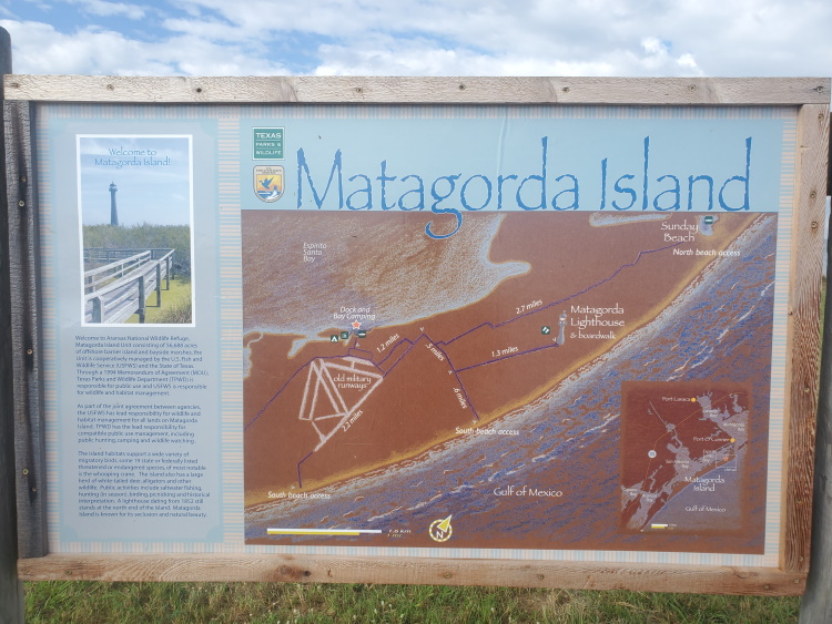
After crossing at Cedar Bayou, you are now on Matagorda Island. It’s about 38 miles long and one of the more remote sections of the coast. I’ve tried to find what details I can about it before it became the uninhabited island it is today. I found it’s history and some of the traces left behind interesting so I’ve provided details below. Please leave a comment if I’m missing out on some interesting info about it.
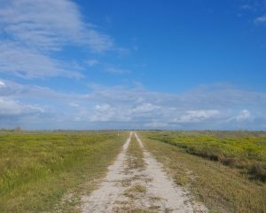
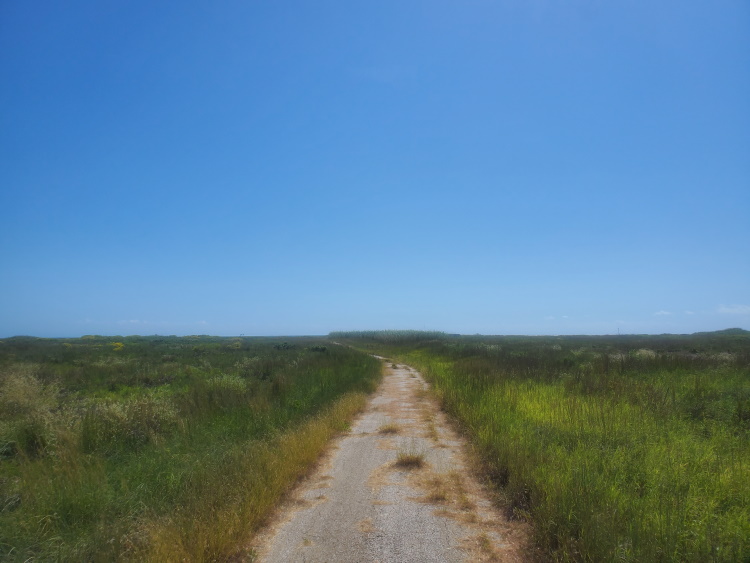
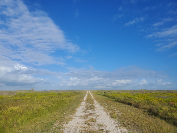
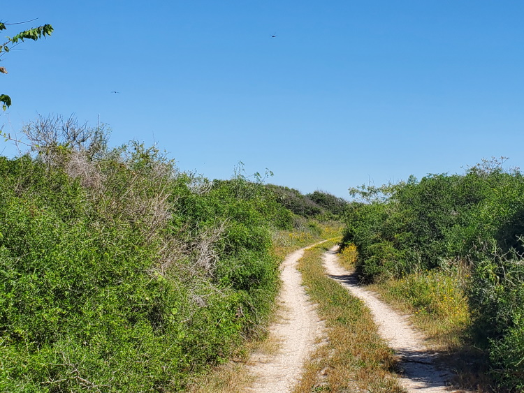
The island was part of the lands of the indigenous Karankawa people before Europeans arrived, but they were driven out of the area by Texan colonists before the mid 1800’s. In 1847, the town of Saluria was established on the north eastern end of the island. A number of colonists established homesteads and ranching on the island. The town was abandoned during the civil war, repopulated, and subsequently hit by multiple hurricanes in 1875 and 1886. The town dwindled away, though ranching continued on the island. In 1940 during WWII, the US government forced most of the ranchers from the island and claimed the majority of the island to build an air force training base. In 1942, the airfield known as the Matagorda Island General Bombing and Gunnery Range was constructed and operated until 1945. In 1949, the airfield was reopened and expanded to become the Matagorda Island Air Force Base. This facility was used until it was deactivated in 1975 and turned into a wildlife refuge. Today, Matagorda Island is mostly a mix of state and federally managed lands including the Matagorda Island National Wildlife Refuge and State Natural Area as well as Matagorda State Park on the north end. You can still access the remains of the air force base by a sand road that will lead you to the concrete runways. It was kind of a surreal experience to ride around the old abandoned air force base. There is also an old lighthouse and some more internal roads. At high tides the beaches on the northern end of the island can become impassible. There is a rough, grass covered road from the park area that can take you to Sunday Beach Pass and skip that portion.

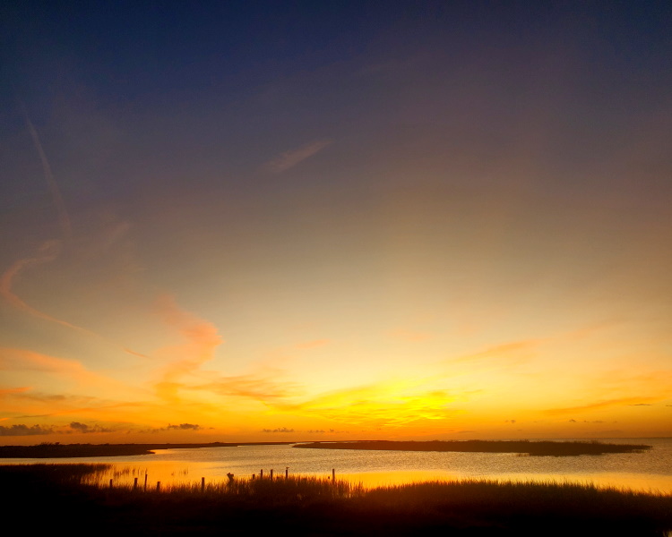
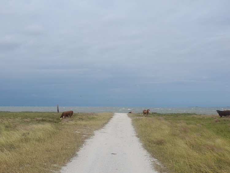
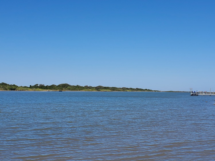
Pass Cavallo is the north end of the island and crossing will put you on the next island which some refer to as Decros Point. It’s a small private island created by the construction of the Matagorda Ship Channel on the north end, separating it from the Matagorda Peninsula. It was unclear if there are permanent inhabitants on the island other than the cows, but there are a number of small homes/fishing camps on the bayside and there was also what appeared to be a two story home on the north end of the island overlooking the gulf side. As a private island, access is only permitted on the beach so I didn’t explore further. The beach is about 4 miles long and terminates at the Matagorda Ship Channel. I followed a sand road back to the bayside to cross behind the jetty. I delayed my crossing here at first as a strong storm had moved in with gale force winds from the north. The Matagorda Bay is large and the strong winds coupled with the fetch over the bay made it impossible to cross that day. After the storm passed, the crossing was straightforward though one should be careful to only cross when no ships will be using the channel.

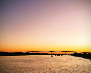
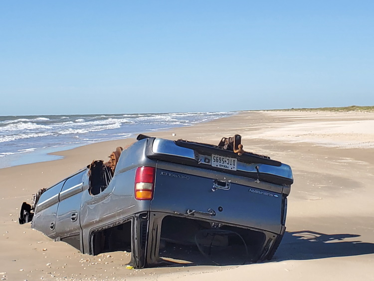
After crossing the channel, one is on the Matagorda Peninsula. Although it is called a peninsula, there is no way on or off it except by water. This is another private island so you are only allowed on the beach which runs for about 25 miles. These are nice beaches with some heavy shelled stretches intermixed. I did see a couple of odd things on the beach here, including an upside down Chevrolet Suburban embedded in the sand. The mouth of the Colorado River is the final obstacle before you are back on the mainland. This is an easy crossing, but it took me a few minutes to find the sand road that runs back behind the jetty. After crossing, you’re at Matagorda Beach. There is a public park here with bathrooms, outdoor showers, and covered picnic areas. There is also the LCRA park here which is mostly an RV camp but has some other amenities for a day use fee. From here, I traveled inland to the city of Matagorda to resupply.

Towns and Resupply Areas
There are no towns or places to resupply on this section. Sufficient supplies must be acquired before leaving Port Aransas. The town of Matagorda can be reached after this section by riding about 7 miles inland on FM 2031 (Beach Rd) from Matagorda Beach.
Water Sources
There are no sources of fresh water on this section. Sufficient water must be acquired before leaving Port Aransas. The next water source is at the end of this section at the park at Matagorda Beach.
Camping Areas and Lodging
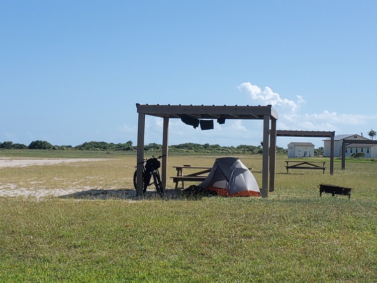
Camping is allowed on the beach for this entire stretch. Most of these islands are private property so you are not allowed above the beach. The exception is Matagorda Island where there is an established camping area on the bay side which can be accessed via a sand road that runs across the island. There is no water or amenities other than the covered camp sites, and typically, no one, at this camping area. Hotels are available before this segment in Port Aransas or after this segment in Matagorda.
- Part 1: Intro
- Part 2: Terrain and Environment
- Part 3: Rio Grande to Mansfield Channel
- Part 4: Mansfield Channel to Port Aransas
- Part 5: Port Aransas to Matagorda Beach (You are here)
- Part 6: Matagorda Beach to Bryan Beach
- Part 7: Bryan Beach to Galveston
- Part 8: Galveston to Sea Rim State Park
Notice: Outdoor activities such as those described on this site are inherently dangerous. Effort has been put forth to present factual information but no guarantee is made that it is complete or represents current conditions. You assume all risk with any use of the information on this site.